|
| *****SWAAG_ID***** | 654 |
| Date Entered | 08/12/2012 |
| Updated on | 08/12/2012 |
| Recorded by | Tim Laurie |
| Category | Tree Site Record |
| Record Type | Botanical HER |
| Site Access | Public Footpath |
| Record Date | 19/02/2010 |
| Location | Arkengarthdale, Arkle Beck south bank. |
| Civil Parish | Reeth |
| Brit. National Grid | |
| Altitude | 240 |
| Geology | River flood plain. |
| Record Name | Arkle Beck. Alder carr woodland with self seeded scots pine |
| Record Description | One of the largest areas of alder carr woodland in Swaledale. Alders are dominant with occasional sallows and, at drier locations, ash trees also. |
| Dimensions | See photos. |
| Geographical area | Swaledale North Bank Catchment |
| Species | Alder |
| Scientific Name | Alnus glutinosa |
| Common / Notable Species | Alder |
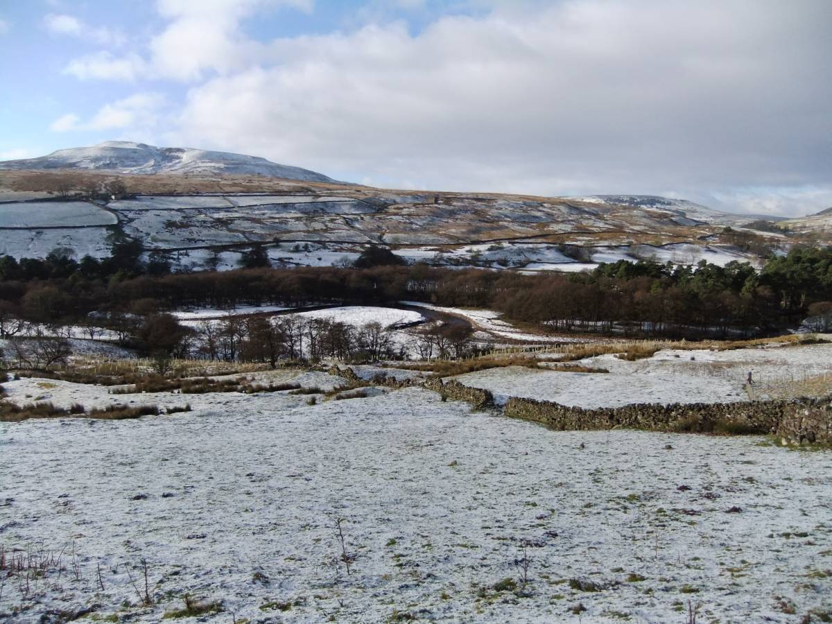
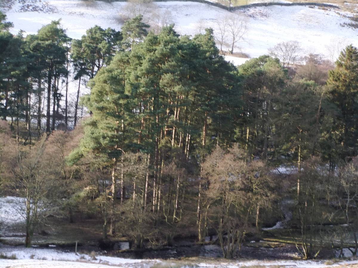
| Image 1 ID | 3825 Click image to enlarge |
| Image 1 Description | Arkle Beck. Alder carr woodland with scots pine. On a fine winter's day. | 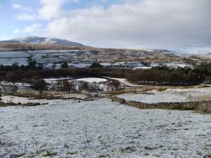 |
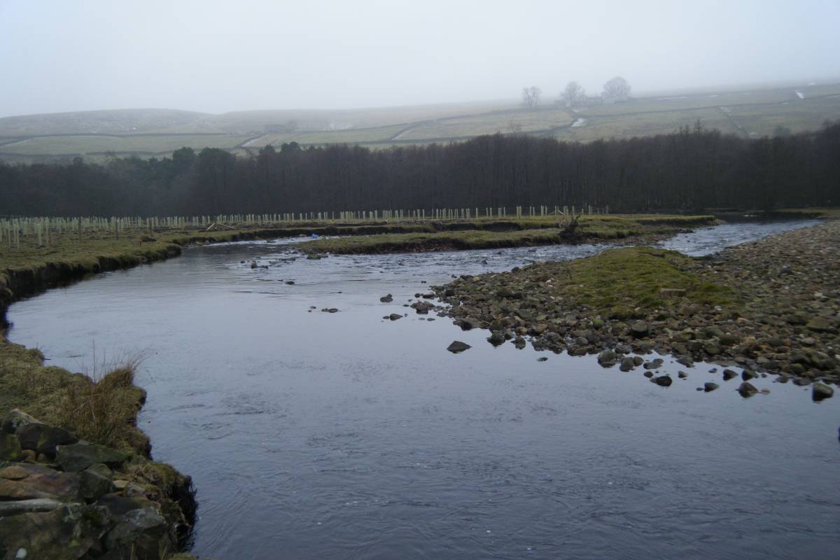
| Image 2 ID | 3822 Click image to enlarge |
| Image 2 Description | Arkle Beck. Alder carr woodland with scots pine. On a misty and not so fine winter's day. | 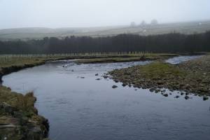 |
| Image 3 ID | 3823 Click image to enlarge |
| Image 3 Description | | 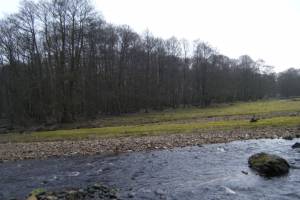 |
| Image 4 ID | 3824 Click image to enlarge |
| Image 4 Description | | 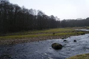 |
| Image 5 ID | 3826 Click image to enlarge |
| Image 5 Description | | 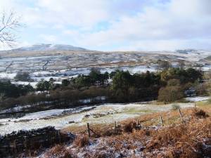 |
| Image 6 ID | 3827 Click image to enlarge |
| Image 6 Description | | 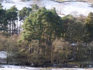 |